How to Plan a Hiking Route with Elevation Changes : Step-by-Step Guide with Practical Tips
Knowing how to plan a hiking route with elevation changes can help you choose the right trail and prepare for your hike. This guide explains how to understand the terrain, use helpful planning tools, and select a route that matches your fitness level.
You will learn to read topographic maps, use GPS apps, estimate your pace, and understand elevation changes to plan a safe and enjoyable hike.
Why Elevation Gain Matters More Than Distance
A lot of new hikers plan trips without detailed planning and research. Then they hit a trail that climbs 2,000 feet in the first three miles and wonder what went wrong. Itbasically means the total uphill climbing over the route, and that affects your time and energy way more than flat distance does.
You may consider the following things:
- Total elevation gain and loss, not just the summit height
- Distance and how it’s distributed across the climbs
- Trail surface and how steep sections actually are
- Your own hiking fitness level, honestly assessed
In my experience, a short 5-mile hike with 2,500 feet of gain can be more difficult than a flat 12-miler.
Reading Contour Lines on a Topographic Map
Before you go hiking, you must learn to read a topographic map. Contour lines connect points sitting at the same elevation, and how close together they are.
Take care of the following things:
- Lines spaced far apart mean gentle, easy terrain
- Lines packed tightly together mean a steep climb is coming
- A closed loop of lines usually marks a peak or a low point
Scan the hiking map for tight clusters before you even leave the house. That’s where the trail is going to get difficult, and it’s good to know that ahead of time rather than mid-climb.
GPS Hiking Apps and the Elevation Profile
This is where things get easier than they used to be. GPS Hiking Apps will help you plot an elevation profile for you. It basically creates a graph of your altitude across the whole route. Most of these apps also work as a route elevation calculator, showing:
- Total ascent and descent
- The steepest grade on the trail
- Rough time estimates based on pace and terrain
- Elevation at the highest and lowest points
Choosing the Route According to the Fitness of Your Body
Here’s a rough guide, though your mileage (literally) may vary:
- Beginner — under 1,000 feet of gain over about 5 miles
- Intermediate — 1,000 to 2,500 feet over 6 to 10 miles
- Advanced — 2,500+ feet, often with sustained steep trails or exposed sections
Altitude, pack weight, and trail surface all shift things around. If you’re working towards heavier backpacking route planning goals, build up gradually instead of jumping straight into something with a huge vertical profile.
In my experience, it is better to finish a hike feeling like you could’ve done more than to be the person everyone’s waiting on at the trailhead.
Estimating Hiking Time When Ascent and Descent Are Involved
Flat-ground pace estimates fall apart the second real elevation shows up. A method a lot of hikers use is Naismith’s Rule — roughly one hour per 3 miles of distance, plus an extra hour for every 2,000 feet climbed. Steep, loose descents deserve extra time too; going downhill on scree is not fast, no matter what your legs think.
Things that slow your actual hiking pace down:
- Luggage weight, especially on multi-day trips
- Trail surface — loose rock and roots versus packed dirt
- The slowest hiker in your group (there’s always one, and it might be you)
- Altitude above roughly 8,000 feet, which slows almost everybody
Also read – Best Long Distance Hiking Trails
Day Hike Planning vs Backpacking Route Planning
The elevation math changes depending on trip length.
Day hike planning
- Lighter pack means you can handle more elevation per mile
- Weather window only needs to cover a few hours
- Turnaround time matters more than camp logistics
Backpacking route planning
- A heavier pack cuts into your climbing speed significantly
- Spread big elevation days across the trip instead of stacking them
- Water sources and camp elevation need their own planning
Weather, Altitude, and Hiking Safety Tips
Weather conditions shift fast once you gain elevation, and a warm trailhead doesn’t guarantee a warm ridge. A few hiking safety tips worth repeating:
- Check the forecast for the highest point on the route, not just the parking lot
- Try to be off exposed ridgelines before afternoon storms typically roll in
- Watch for signs of altitude sickness above 8,000 to 10,000 feet
- Build acclimatization days into multi-day trips instead of pushing straight up
Also read – The Best Highland Hiking Trails Every Adventurer Should Try
Conclusion
What is important to understand about how to plan a hiking route with elevation changes is to move beyond just distance measurement and focus on analyzing the terrain – its contour lines and the difficulty of the trail.
Utilize the topographic map as well as the GPS application before hiking, assess your level of physical fitness honestly, and determine the time needed for hiking based on the pace of climbing, rather than only walking. Regular application of this method will ensure that you choose trails which challenge but do not destroy you.
FAQs
1. What is a good elevation gain for a beginner hiker?
Generally, under 1,000 feet of gain over about 5 miles is manageable for most beginners.
2. How to plan a hiking route with elevation changes?
Plot the route in a GPS hiking app – most will generate an elevation profile and total ascent automatically once you draw or select the trail. This will help you get the exact idea about the trail and its conditions.
3. Does elevation gain matter more than total distance?
Often yes. A shorter route with heavy elevation can take longer and feel harder than a longer, flatter one, so always check gain alongside distance.
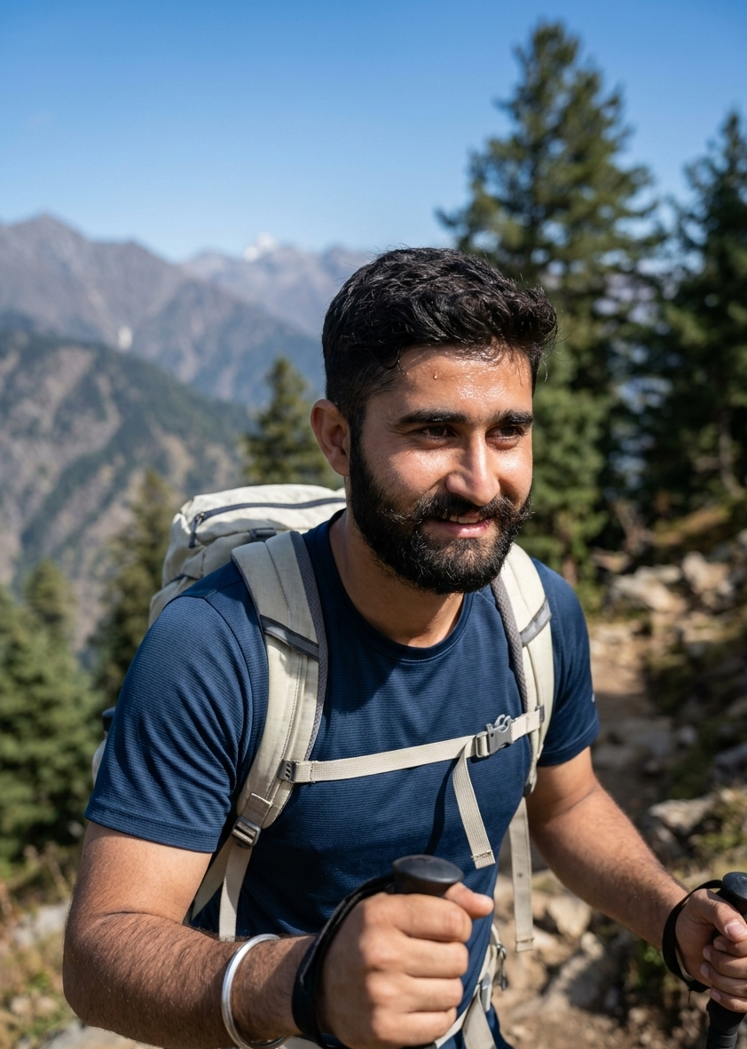
Rajat Pathania is a hiking enthusiast who studies trails, hiking safety, and outdoor preparation. He shares practical insights based on field experience, gear testing, and research about trekking conditions. His work focuses on helping hikers understand trail planning, safety practices, and essential hiking skills for better outdoor trips.